Products / 3D Visualisation Platform
3D Visualisation & BIM Monitoring Platform
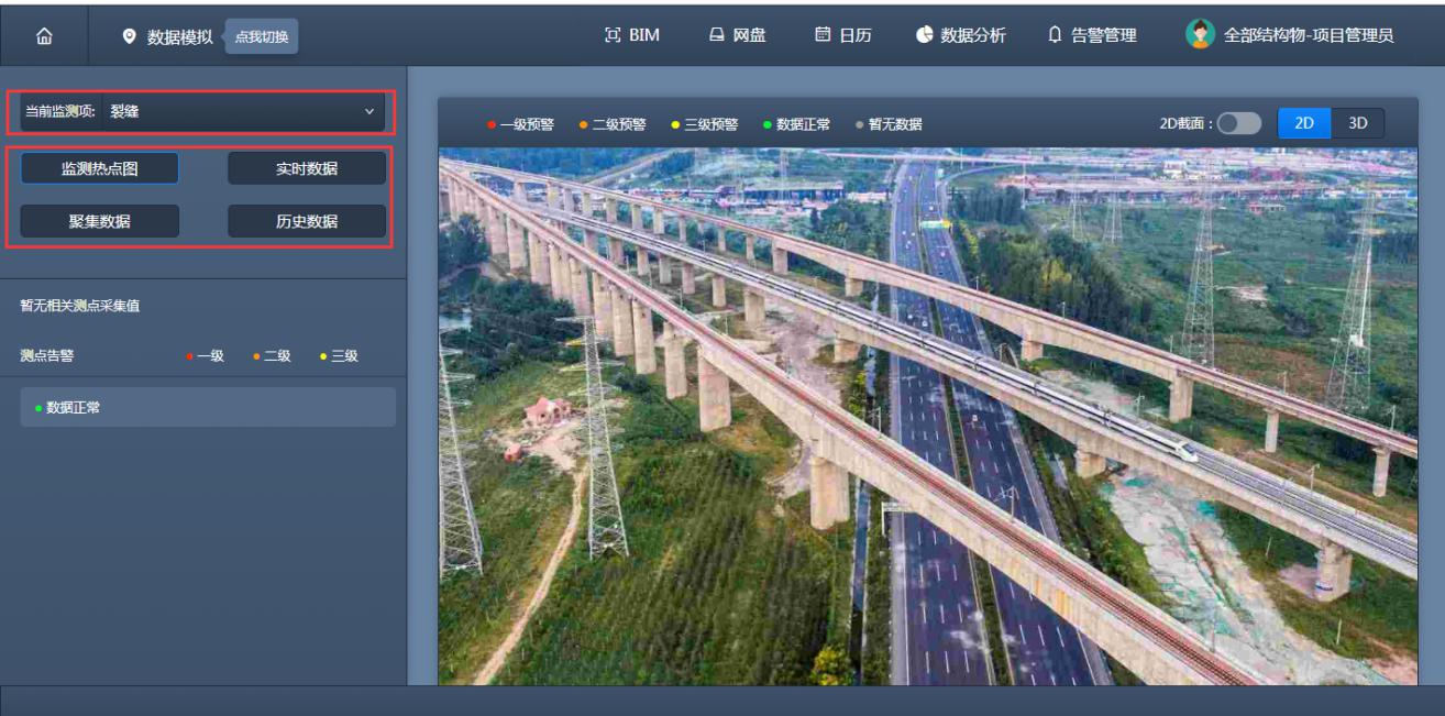
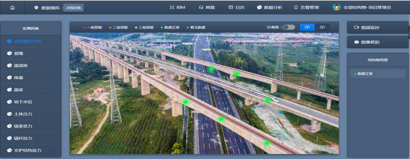
Flat tables and trend charts are not enough when a client, a regulator or a site engineer needs to know where a structure is moving. The 3D visualisation module places every sensor on a 2D drawing or a full BIM model and colours it by current status, so an alarm is immediately located in space. Users can rotate and zoom the model, cut sections in the X, Y and Z directions, measure real distances between two points, hide or isolate components, and read the latest value from any sensor by clicking it.